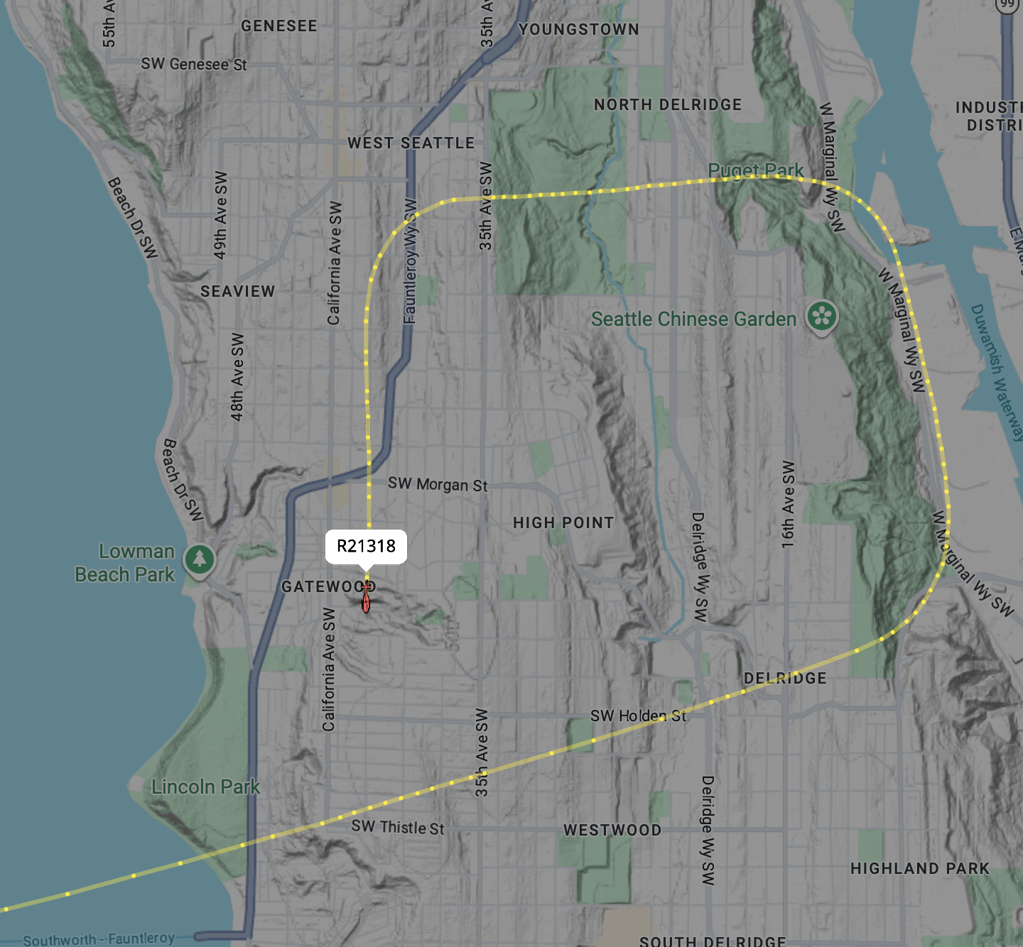
Army Blackhawk helicopters doing low passes over West Seattle
Army Blackhawk helicopters doing low passes over West Seattle
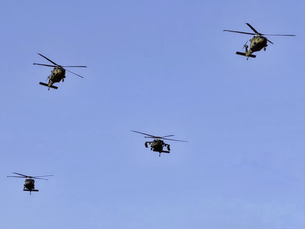
Four Army Blackhawk helicopters were doing some training flights over West Seattle on Monday Oct. 26.
Photo by Kimberly Robinson
Mon, 10/26/2026
A formation of four Army Blackhawk helicopters were seen doing low passes over West Seattle on Monday.
They are conducting routine training flights originating out of Joint Base Lewis-McChord (JBLM) in the South Sound. Radar tracking for these flights typically puts them around 750 feet, which is a very common sight during regular military routing and proficiency exercises in the Puget Sound airspace.
Minimum Altitude Rules for Helicopters Over Residential Areas
When it comes to the legal minimum altitudes, military aircraft operate under specific exemptions, but standard Federal Aviation Administration (FAA) guidelines under 14 CFR § 91.119 outline how altitude restrictions apply:
-
Civilian Rules (FAR 91.119b): Over congested or residential areas, civilian aircraft are generally required to maintain an altitude of 1,000 feet above the highest obstacle within a horizontal radius of 2,000 feet.
-
The Helicopter Exception (FAR 91.119d): Helicopters are granted specific operational flexibility under FAA rules. Because of their unique flight capabilities (such as vertical takeoff, landing, and hovering), helicopters can operate at lower altitudes than fixed-wing aircraft—provided they can do so safely and without hazard to persons or property on the ground.
-
Military Exemptions: Military aircraft engaged in authorized training missions or operational flights frequently have specific waivers or operate under Department of Defense regulations that allow for low-level flight profiles as part of tactical readiness training. They are trained to navigate safely along corridors like Puget Sound and local shorelines, which often bring them close to residential neighborhoods.
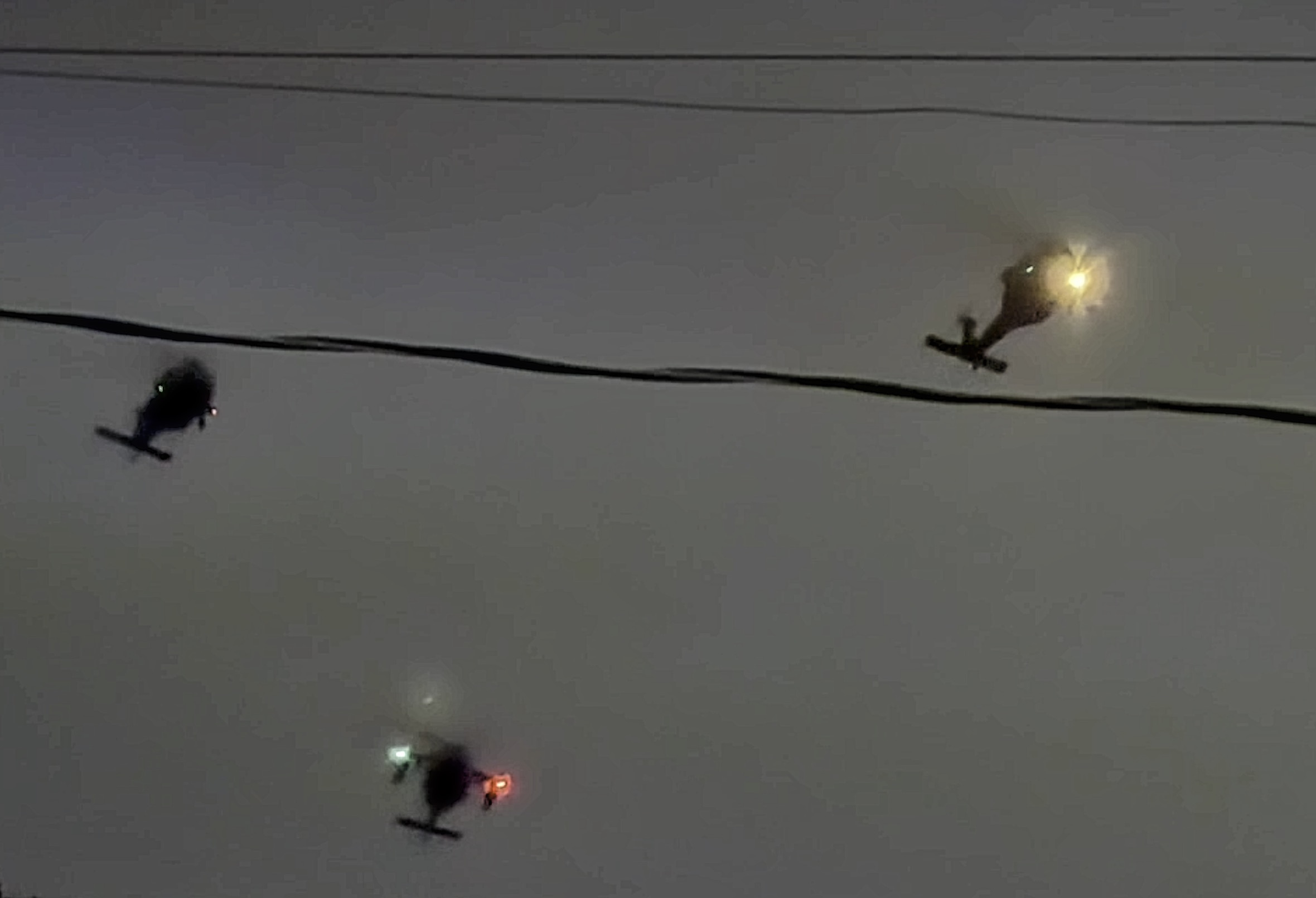
\For military helicopter units—such as the 16th Combat Aviation Brigade based at Gray Army Airfield (JBLM)—flying over populated urban environments requires navigating around civilian Class B airspace (which protects Sea-Tac airliners).
To do this safely, flight crews routinely utilize visual transit corridors:
-
Puget Sound / Coastal Shoreline Routes: Helicopters use Puget Sound, Elliott Bay, and the shoreline along West Seattle and Bainbridge Island as primary visual references. Operating over water or along coastal margins keeps helicopters clear of commercial fixed-wing arrivals/departures while maintaining low-altitude tactical capability.
-
Seattle VFR Transit Lanes: ATC establishes preferred low-altitude corridors north-to-south over the water to allow military, emergency, and civilian helicopters to transit through the metropolitan area under 1,000 feet without interfering with airliner traffic overhead.